
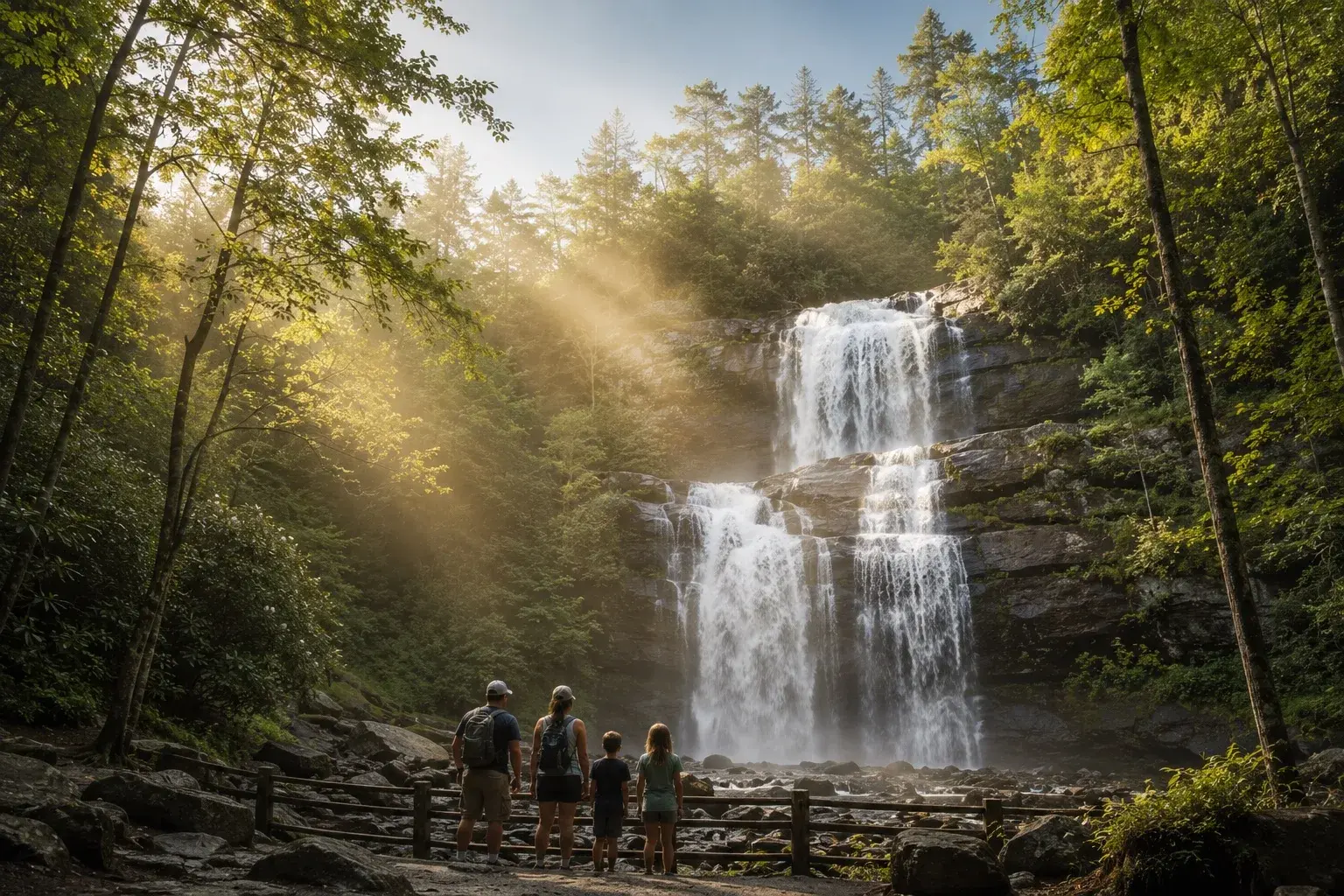
Smoky Mountains · Laurel Falls Trail, Great Smoky Mountains National Park, Tennessee
Laurel Falls Explorer
Follow the most popular paved trail in the park to one of its most spectacular waterfalls — 80 feet of cascading water surrounded by old-growth forest.
- 8 missions
- Explore in real life
- Snap the photo
- Learn more if you’re curious
A Laurel Falls adventure built around old-growth forest ecology, Appalachian geology, watershed science, hemlock conservation, and the microhabitat created by one of the Smokies' most dramatic waterfalls.
- Where
- Laurel Falls Trail, Great Smoky Mountains National Park, Tennessee
- Time
- 45-75 min
- Missions
- 8 · complete 6 to finish
- Collection
- Smoky Mountains
- Waterfall
What this adventure explores
- Notice the forest layers, geology, and water systems that shape the trail from trailhead to falls
- Complete any 6 of 8 missions
- Capture one shared Laurel Falls memory worth keeping
Missions
8 missions at Laurel Falls Explorer
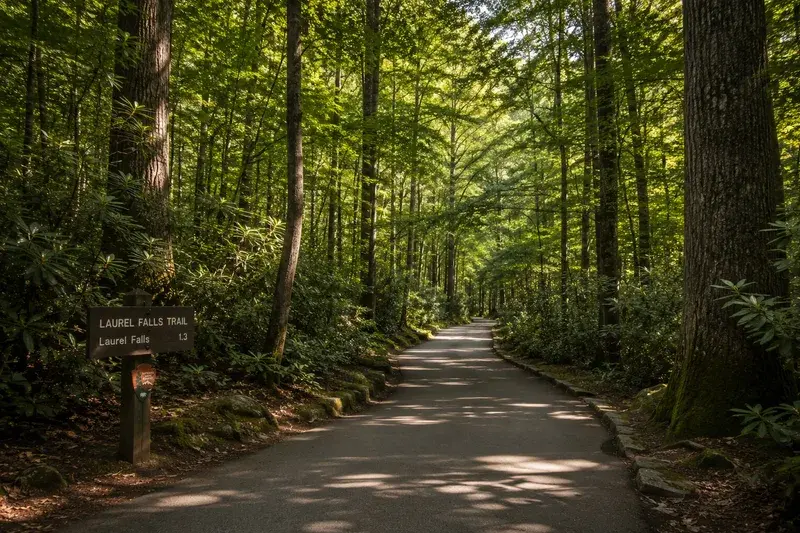
Mission 1
The Paved Path Begins
The Laurel Falls Trail is the most-walked paved trail in all of Great Smoky Mountains National Park, yet the forest around it is genuine old-growth — trees that have never been logged. As you step onto the smooth asphalt, notice how quickly the canopy closes overhead, blocking out the sky and dropping the temperature several degrees. That sudden coolness is called a microclimate, created by the dense forest canopy trapping moisture and shade.
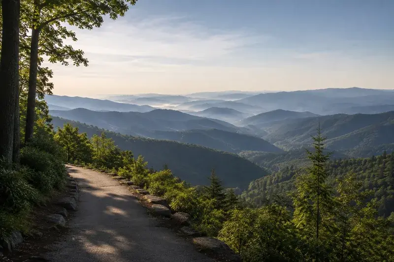
Mission 2
Reading the Ridge
The trail climbs steadily through the western slope of Cove Mountain, and the rocks jutting from the hillside tell a story 300 million years in the making. Most of the stone you see is Thunderhead Sandstone, formed when ancient rivers deposited sediment layer by layer — long before the Atlantic Ocean existed in its current form. Look for places where those layers are tilted or bent: that's evidence of the enormous collision of continents that pushed the Appalachians skyward.
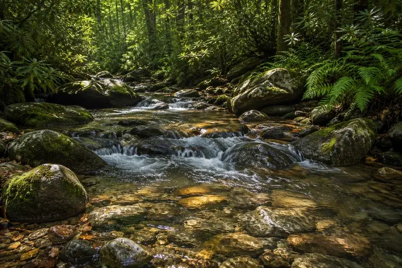
Mission 3
Watershed Detectives
Every drop of water that reaches Laurel Falls begins its journey as rain or snowmelt soaking into the forest floor high on Cove Mountain above you. The entire surrounding hillside functions as a watershed — a basin that collects and funnels water downhill through soil, root systems, and rocky channels before it ever becomes a visible stream. The Smokies receive up to 85 inches of rainfall per year in the highest elevations, making them one of the wettest places in eastern North America and giving Laurel Falls its steady, year-round flow.

Mission 4
Forest Layers Overhead
Stop and tilt your head back: you're standing inside a temperate rainforest with at least four distinct vertical layers. Towering tulip poplars and Eastern hemlocks form the canopy 80 to 100 feet above; beneath them, rosebay rhododendron forms a dense mid-story that blooms white and pink in late June and July. Closer to the ground, mosses and ferns colonize every moist surface, thriving in the filtered light. Each layer hosts its own set of insects, birds, and mammals, stacking habitat on top of habitat.
Mission 5
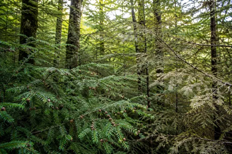
Hemlock Watch
The Eastern hemlocks lining this trail are fighting for survival. Since the early 2000s, a tiny invasive insect called the hemlock woolly adelgid has been killing hemlocks across the entire eastern United States, and the Smokies have lost thousands of these ancient trees. Park scientists are actively releasing a predatory beetle called Laricobius nigrinus as a biological control — a living solution to a living problem. Look for small white woolly masses on the undersides of hemlock branches: that's the adelgid, and spotting it makes you part of the monitoring story.
Mission 6
The Sound Before the Falls
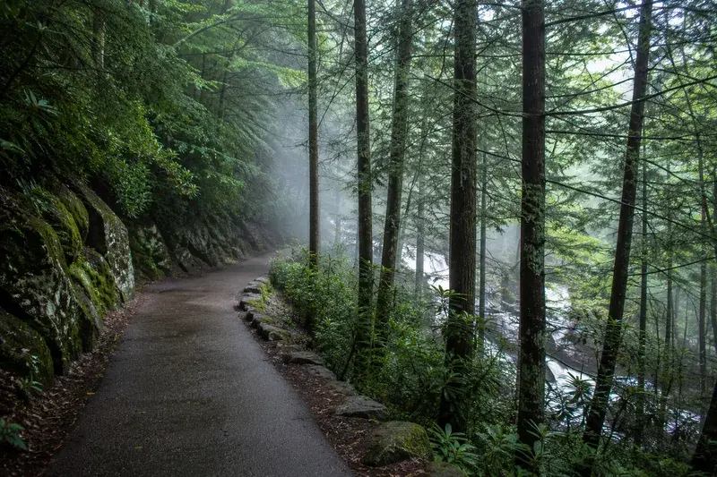
Somewhere along the upper half of the trail, before you can see Laurel Falls, you'll hear it — a low, steady rush that seems to come from everywhere and nowhere at once. Sound travels differently in dense forest: tree trunks, leaf litter, and the irregular rock faces scatter and absorb high frequencies while letting low rumbles pass through. That roar is about 80 feet of water dropping over a wide ledge of ancient sandstone, and the closer you get, the more the sound transforms from background rumble into something you feel in your chest.
Mission 7
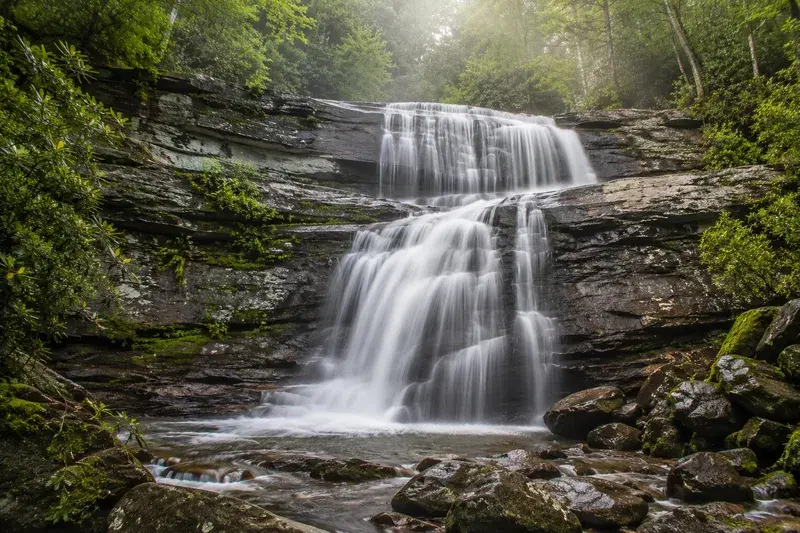
How a Waterfall Forms
Laurel Falls drops over a broad ledge of Thunderhead Sandstone because this rock is significantly harder than the softer slate beneath it. Water erodes the softer rock faster, undercutting the hard ledge until a lip forms — and that lip is what creates the dramatic plunge you're standing in front of. Over thousands of years, this process called differential erosion has been slowly moving the falls upstream, a few inches at a time, as the soft rock below retreats. The two-tiered, 80-foot drop you see today is a snapshot of a waterfall that is constantly, invisibly migrating up the mountain.
Mission 8
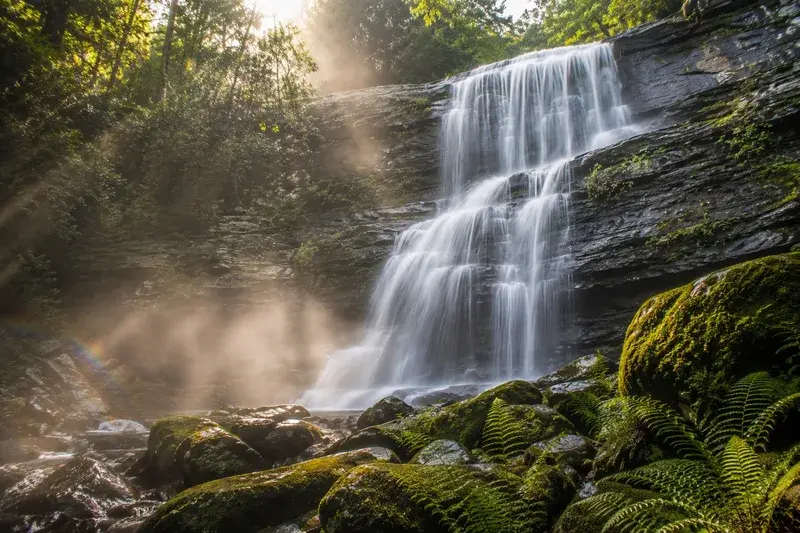
Mist and Memory
Stand at the base of Laurel Falls and face the spray: the fine mist drifting off the plunge pool creates its own tiny weather system, keeping the surrounding rocks and soil perpetually damp and cool. That moisture supports a micro-community of mosses, liverworts, and ferns that exist nowhere else along the trail — life that depends entirely on the waterfall being here. Before you turn back, take one quiet minute without your phone: listen to the water, feel the cold air, look at the way afternoon light breaks apart in the spray. The Smokies have been doing this for millions of years, with or without an audience.
Play Laurel Falls Explorer in Adventure Quest.
Laurel Falls Explorer is one of the adventures in the Smoky Mountains collection, in Adventure Quest for iPhone.
More in Smoky Mountains
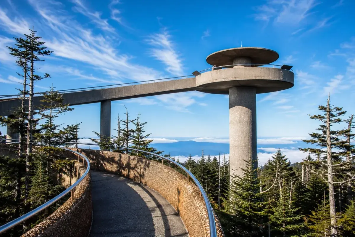
Summit
Kuwohi — Top of the Smokies
Climb to the highest point in the park and stand on an observation tower with views into seven states on a clear day.
8 missions · 45-75 min

Overlook · History
Newfound Gap & the Appalachian Trail
Drive the iconic road connecting Tennessee and North Carolina, stop at the Appalachian Trail marker, and stand in two states at once.
8 missions · 45-75 min
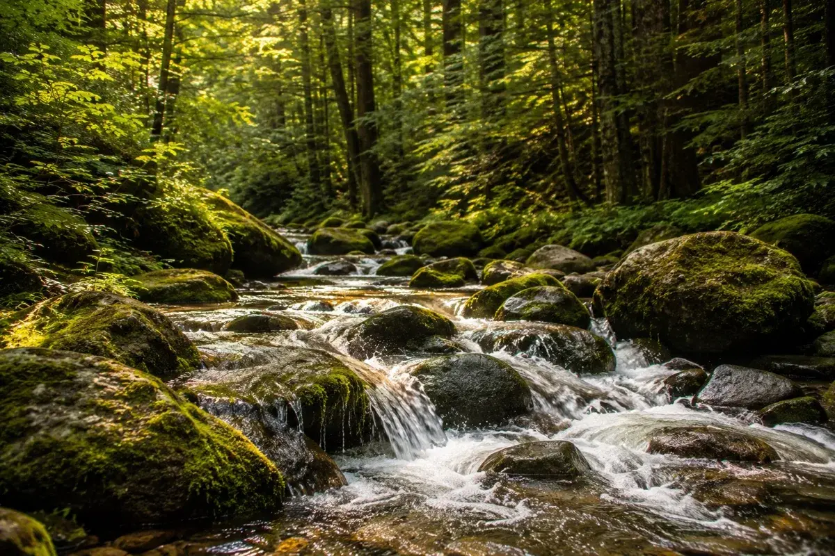
Forest · Stream
Roaring Fork Motor Nature Trail
Wind through a dense forest canopy past pioneer homesteads and mountain streams on a 5.5-mile scenic drive with a completely different feel from the rest of the park.
8 missions · 45-75 min
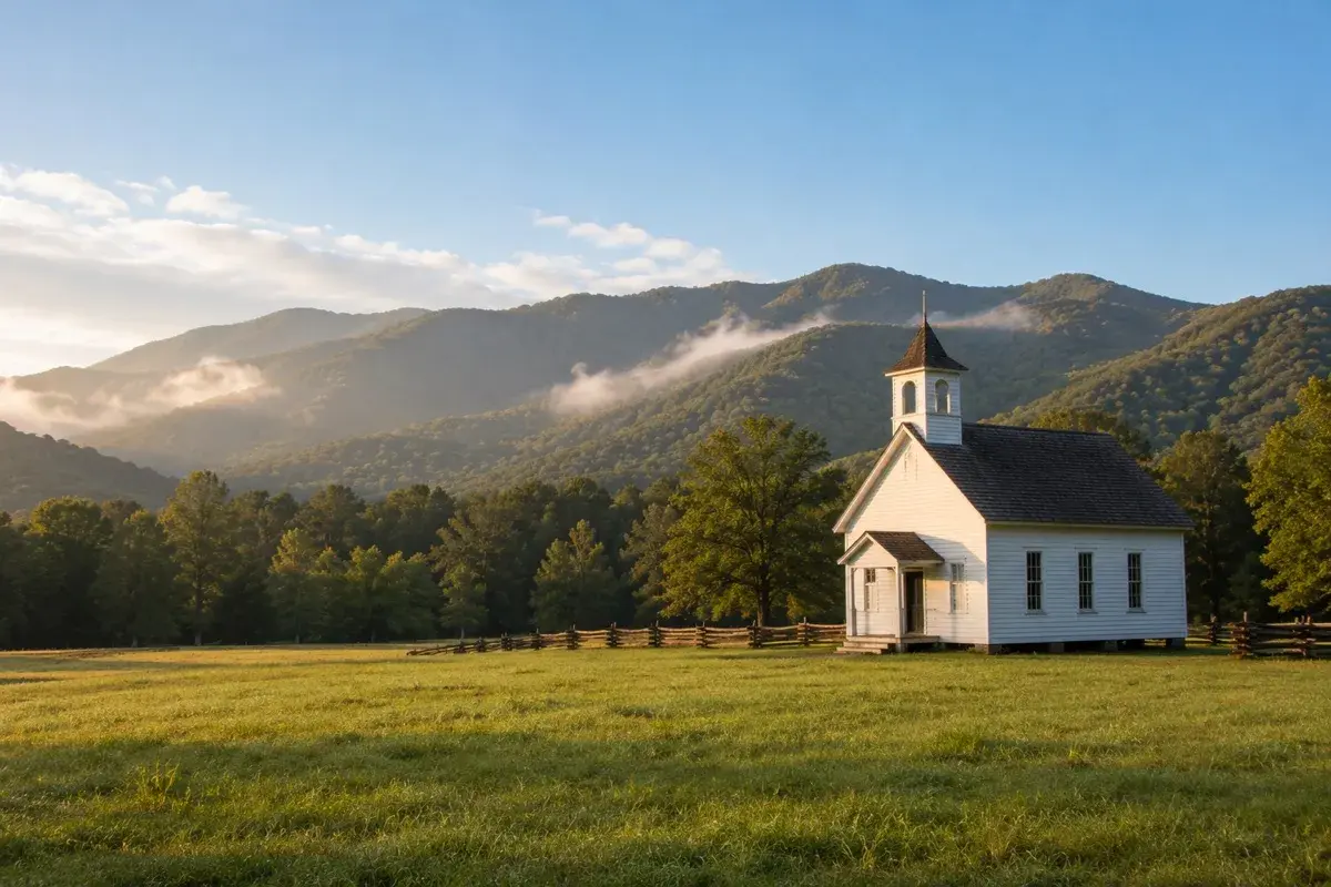
Pioneer History · Wildlife · First Free
Cades Cove Loop
Drive the most visited loop in America's most visited national park — 11 miles of pioneer homesteads, three historic churches, a working grist mill, and wildlife around every bend.
8 missions · 2-4 hours