Facts, fees, dates and closures were checked against the National Park Service on 9 September 2026; sources are listed at the end.
Three parks, three fee stations, three very different elevations. Capitol Reef's trails start around 5,000 feet; Bryce Canyon's rim averages 8,000 and rises past 9,000; every trail at Cedar Breaks starts above 10,000. The park service says plainly that at Bryce "effective oxygen levels are about 75% of what's found at sea level," and that at Cedar Breaks the trails "can be more difficult than they appear for those not acclimated." For a family, that is the plan: altitude and season decide the day, not the list of famous viewpoints.
Which park fits today?
| If today you have… | Choose | What it asks of the group | Season / access |
|---|---|---|---|
| A lower-elevation day with short outings | Capitol Reef — the Scenic Drive, the orchards, a short canyon walk | Mostly driving on a 7.9-mile paved road; walks of 0.2 to 2 miles round trip; fruit picking if an orchard is posted open | Open year-round; drive and dirt spurs close for snow, ice, mud or flash floods; carry water, watch the heat and the forecast |
| Fresh legs in the morning | Bryce Canyon — the paved rim | A half-mile (one-way) paved rim walk at 8,000+ feet; trails below the rim only as NPS current conditions allow | Shuttle 3 Apr–18 Oct 2026, free with admission |
| A morning with a clear forecast | Cedar Breaks National Monument — the overlooks and the paved Sunset Trail | A 2-mile accessible paved trail at 10,000+ feet; check the storm forecast before you go — lightning is the hazard, most often in the afternoon | Main road open mid-May to mid-November; visitor center and store 22 May to mid-October in 2026 |
Fees, and the one card that covers all three
Each park charges its own entrance fee per private vehicle, each valid for seven days: Capitol Reef $20 per private vehicle, Bryce Canyon $35 per private vehicle, Cedar Breaks $25 per private vehicle. Children 15 and under enter free at all three. Bryce Canyon and Cedar Breaks do not accept cash — card only.
The America the Beautiful annual pass is accepted at all three, and its price depends on residency: $80 for U.S. citizens and residents, $250 for nonresidents, per the parks' fee pages. For a family eligible for the resident pass, the three separate vehicle fees on this loop add up to $80, the same as the pass. For visitors from outside the United States the arithmetic is different, and Bryce Canyon adds a rule of its own: each non-U.S. resident aged 16 and older pays a $100 nonresident fee on top of the entrance fee unless admitted with an annual or America the Beautiful pass. Read the fee page for each park before the first gate.
Capitol Reef: the low canyon and the orchards
Capitol Reef is the easy day. The park is open around the clock, year-round. Its Scenic Drive is a 7.9-mile paved road suitable for ordinary cars; the park says to allow about an hour and a half round trip including the two dirt spur roads, Grand Wash and Capitol Gorge, which are usually fine for passenger cars and can close for snow, ice, mud or flash floods. The park's own warning about Grand Wash is worth repeating to children: it is "a narrow, steep-walled canyon subject to dangerous flash floods that often arrive with little warning." Do not enter it with storms in the forecast.
The park lists its trails one-way, so double the numbers for the walk back. Goosenecks is 0.2 miles round trip and Sunset Point 0.8, both easy. Capitol Gorge is two miles round trip through a deep canyon with historic inscriptions, easy with 80 feet of gain. Grand Wash is easy but long — 4.4 miles round trip on a flat canyon floor — so with children treat it as an out-and-back of whatever length the group has in it, turning around before anyone is tired, rather than a destination to reach. The one climb is Hickman Bridge: 1.8 miles round trip with 400 feet of gain, rated moderate, to a 133-foot natural bridge — a hike a group chooses, not a stroll. The park's rule for every trail here is in capitals on its own guide: "ALWAYS CARRY WATER." Summer brings intense heat and monsoon rain; a lower elevation is not a cooler one.
Then the orchards. The Fruita orchards hold about 1,900 fruit trees, and the rule is simple: there is no charge for fruit eaten in the orchard, and fruit taken out is weighed and paid for at a self-pay station near the entrance. Picking is only allowed when an orchard is posted open, and the park asks visitors to follow the ladder-safety signs. As of 8 September 2026, all four orchards were open for apples at $2.00 a pound; what is ripe changes week to week, so check the park's conditions page for the day you go. The Gifford House store nearby is open 14 March to late November, 9 a.m. to 4:30 p.m.
Bryce Canyon: the rim first
Bryce is the high park, and the park service is direct about what that means: elevations average around 8,000 feet and exceed 9,000, so aim for plenty of water, "limit your exertion," and "turn back before you become tired." Any hike that drops below the rim starts at the top, which means the way home from those is uphill; the rim walk itself does not have that problem.
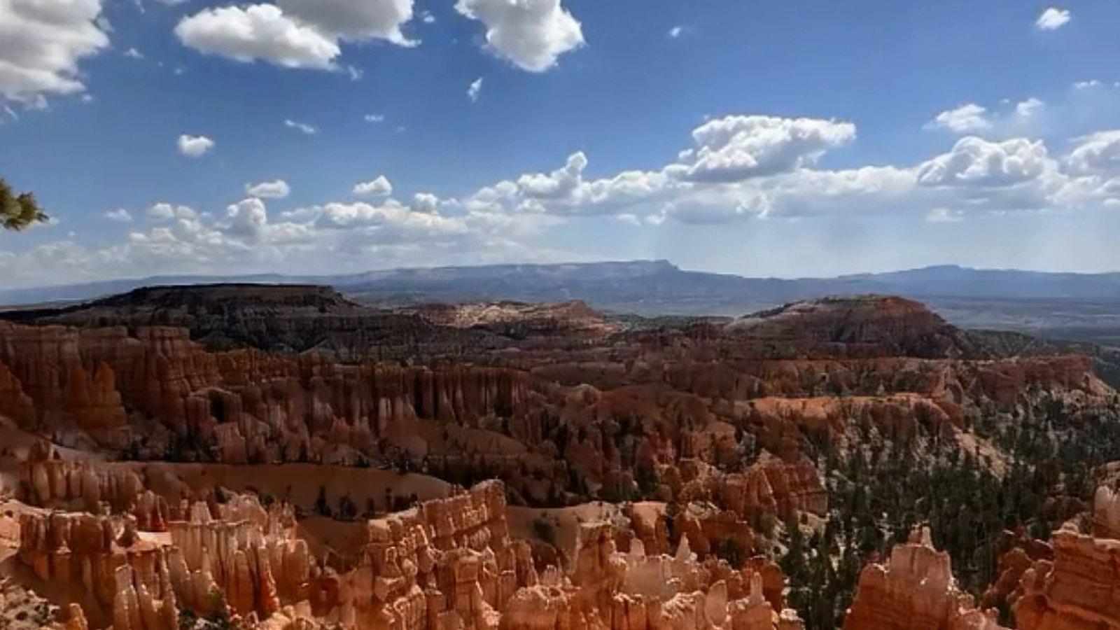
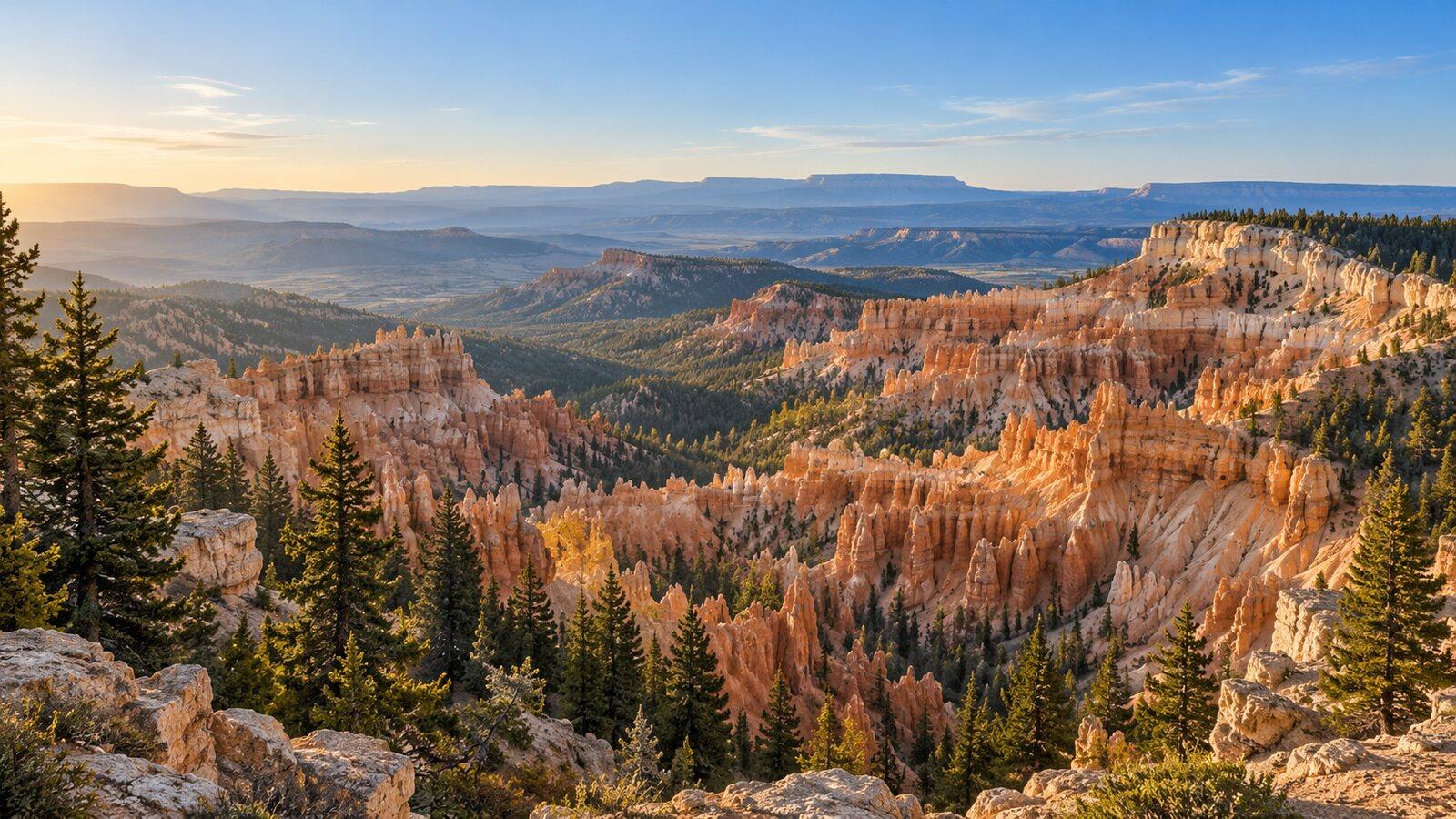
For a family the rim is the point. Between Sunset Point and Sunrise Point the Rim Trail is half a mile one way (a mile there and back), paved, with only minor elevation changes, and wheelchair accessible except in severe weather. That half mile gives the whole amphitheater — the hoodoos, the color bands, the shadows moving across them — without a descent. Ride the park shuttle to it: in 2026 it runs 3 April to 18 October (8 a.m. to 8 p.m. from 9 May to 20 September, 8 to 6 either side of that), it is free with park admission, buses come roughly every fifteen minutes, and the park recommends it because parking at the viewpoints is limited. Park at the Shuttle Station in Bryce Canyon City or the lot across from the visitor center.
Checked September 14, 2026: Wall Street is closed until further notice. The Queen's Garden–Navajo combination remains available using the Two Bridges side, subject to current park conditions. Check NPS current conditions for available routes before descending; the paved rim walk remains this guide's primary family option. Anything below the rim climbs back up at this altitude, so it is a decision for the day, with the youngest and oldest in the group in mind.
Cedar Breaks: a morning at 10,000 feet
Cedar Breaks is a national monument rather than a national park, the smallest of the three and the highest. The monument itself is open year-round; what closes in winter is its main road, State Route 148, which reopened for the 2026 season on 15 May and typically closes from mid-November to mid-May under snow, and its seasonal facilities — the new visitor center, park store and museum opened 22 May and run 9 a.m. to 5 p.m. daily until mid-October. The monument's own warning sets the timing: it sits "over 10,000 feet, where lightning storms are common and dangerous, especially in the afternoons." Prefer a morning, and check the storm forecast before you drive up — a morning is a better bet, not a guarantee.
The family trail is the Sunset Trail: two miles round trip, paved and accessible, with gentle slopes and many rest areas along the rim. The Alpine Pond loop offers a one- or two-mile figure-eight through forest and meadows. The South Rim Trail, starting from 10,500 feet, reaches Spectra Point at one mile one way (two miles round trip) and Ramparts at two miles one way (four round trip), and is the one to skip with tired children — the park notes that all its trails "start at over 10,000ft and can be more difficult than they appear," and asks visitors not to attempt to hike down from the rim. As of 7 September 2026 all trails were open, with muddy and uneven surfaces expected, and Stage 2 fire restrictions in place.
Take the outing with you
Each of the three parks in this guide has an Adventure Quest adventure — Capitol Reef Canyon Explorer, Bryce Canyon Hoodoo Explorer and Cedar Breaks Overlook Quest — eight small missions each to notice, find and photograph things at the place itself, six of which finish the adventure. They are designed for use while you are there.